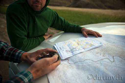
Photo Courtesy of Dirt Myth Photography 2013
GIS Services
Invasive Species Management Maps
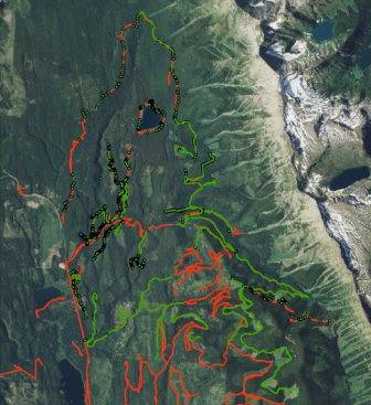
GIS data showing noxious weed infestation and treatment.
Geographic Information Systems or GIS is a system that allows us to display, manage, and analyze data tied to actual physical locations on the earth. Google Earth is a well known GIS used by countless people every day to search locations and view images around the world. ArcGIS software is the gold standard in GIS today and provides land managers with capabilities well beyond those available through the use of Google Earth. GIS mapping is a powerful tool used extensively in the natural resource field by state and federal agencies, universities, non-governmental organizations (NGOs) and private companies. Monture Creek Land Management uses ArcGIS software primarily as a tool to map infestations of noxious weeds and locations where weed treatments have been performed using data collected with a gps unit in the field.
Custom mapping is also available whether a landowner would like a field inventory performed on their property, a high definition aerial photo showing their property boundaries, or a custom map showing gps locations collected by the landowner overlayed on aerial photos, satellite imagery, property ownership polygons, or countless other types of data layers.
Custom mapping is also available whether a landowner would like a field inventory performed on their property, a high definition aerial photo showing their property boundaries, or a custom map showing gps locations collected by the landowner overlayed on aerial photos, satellite imagery, property ownership polygons, or countless other types of data layers.

